Geophysical Spring Water Survey
Locating underground aquifers scientifically to ensure high-yield tube well drilling.
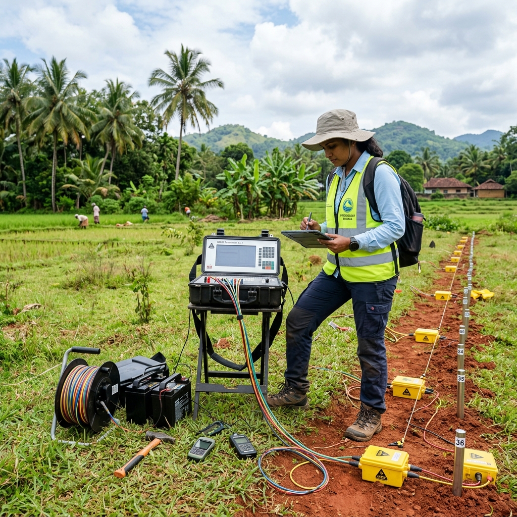
Scientific Ground Detection to Prevent Dry Bores
Drilling blindly is the single biggest risk in tube well construction, often leading to dry bores and wasted investment. At Vishwalanka Water Engineering, we deploy advanced geophysical electrical resistivity meters to scan the sub-surface layers of your land.
By injecting safe electrical currents into the ground via a set of array electrodes, we measure the electrical resistance of the underlying rock and soil. Since water-bearing sand and fractured granite have distinct resistivity values compared to dry soil or solid rock, we can map out underground water streams, aquifers, and fractured joints with extreme accuracy.
Our Water Survey Solutions
Resistivity Profiling
Horizontal and vertical scanning to locate groundwater zones up to 400 feet depth.
Yield Capacity Estimations
Estimating hourly water flow volume (yield) to select the correct size of casing and pump.
Aquifer Mapping
Generating geological profile graphs detailing soil layers, rock interfaces, and water channels.
Full Technical Reporting
Providing formal resistivity survey reports signed by qualified geologists for bank and institutional records.
Our Survey Process
How we map your property for optimal water yield:
- Geological Desktop Review — Evaluating local terrain data and historical water table profiles of your area.
- Field Electrode Deployment — Arranging steel electrode pins in Wenner/Schlumberger configurations across the survey area.
- Data Scanning & Readings — Injecting electrical currents and recording resistivity data points at varying depths.
- Site Selection & Report Delivery — Recommending the best 1-2 targets for drilling and sending a complete digital and physical report.